
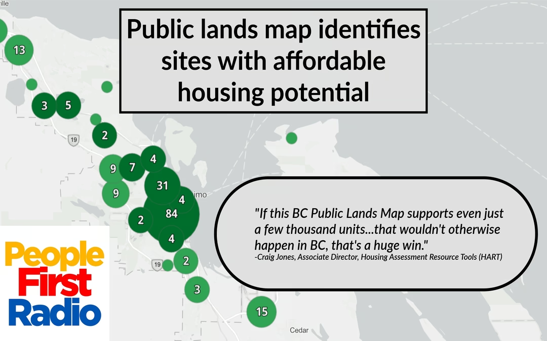


A project from UBC’s Housing Assessment Resource Tools (HART) team has identified public land across the province and scored it for housing potential.
HART Associate Director Craig Jones spoke with People First Radio about the map.
“Anybody in B.C, I don’t care if you are a community member, in government, in a non-profit builder, for-profit builder, an association member, a First Nation, everybody, it’s out there to use to encourage the expansion of that needed [affordable housing] supply,” he said.
The map scores parcels based on a number of factors, including whether they are vacant, their proximity to amenities, various environmental hazards, and more. In and around Nanaimo, 54 parcels are rated very high for their housing potential.
Jones says while he can’t guarantee any of the sites will work for housing, the map can save decision makers significant time by identifying the spots with the most potential.
“From that point, if you have that development expertise, if you’ve done a project before, if you’re a development consultant, if you’re a municipality, if you’re in senior government and you know you want to build some kind of project, this cuts out, I think, a lot of time in identifying…where are the easiest sites.”
Jones says the map is the result of four people working on and off for around a year. It launched at the end of June and while it was funded through a one time grant, Jones says he hopes to make the case for an annual update, following each year’s round of new BC Assessment data.
“If this BC Public Lands Map supports even just a few thousand units…that wouldn’t otherwise happen in BC, that’s a huge win.”
 Apple Podcasts
 Spotify
 YouTube